
Learn if there is a landslide hazard present in Tacoma, WA, by contacting our professionals. Leroy Surveyors & Engineers, Inc. is a professional land surveying and full-service civil engineering firm that has been providing Tacoma landslide hazard mapping services for years.
We can provide information on locations that present landslide hazards.
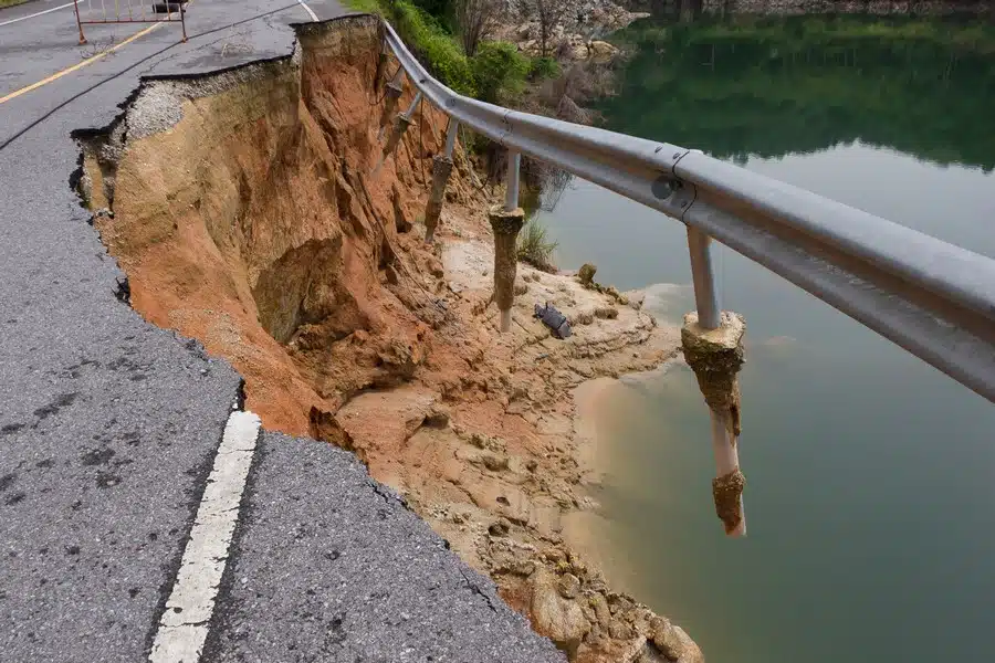
Get in touch with us for a detailed Tacoma landslide hazard analysis of your property, and take necessary measures. Landslides can cause a lot of damage and are potentially life-threatening. Rest assured, we have the knowledge, skills and expertise to provide Tacoma landslide hazard analysis.
Feel free to contact us to learn more about our landslide hazard analysis.
We offer:
Call Leroy Surveyors & Engineers, Inc. for Tacoma landslide hazard service.
(253) 367-7086
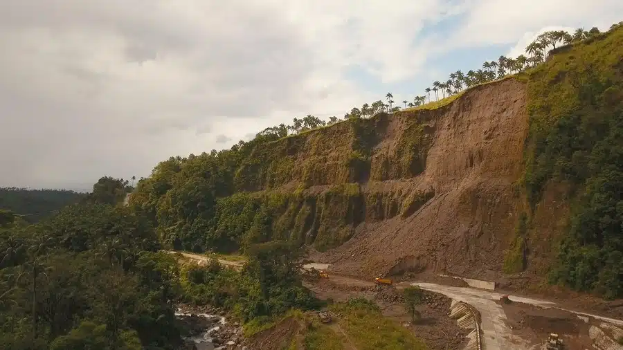
A Tacoma landslide hazard map is crucial to mitigating and managing landslides. If you are undertaking a land development project, come to us for a Tacoma landslide hazard map. We are your source for timely and professional landslide hazard analysis.
We offer reliable and innovative solutions. Our team of engineers is skilled and experienced. We have helped many clients with their Tacoma landslide hazard map needs.
Our expertise, knowledge and our streamlined operations allow our firm to carry out various land surveying projects effectively and efficiently. No matter the size or scope of the project, if you need a Tacoma landslide hazard map, we are the company to count on.
For years, we have helped the community know where they could safely build.
Choose us for:
Call Leroy Surveyors & Engineers, Inc. for a Tacoma landslide hazard map.
(253) 367-7086
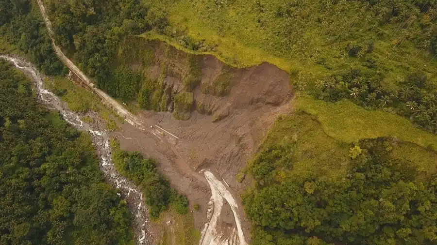
So, why should you consider a Tacoma landslide risk map? The rapid expansion of people into areas that are susceptible to landslides puts lives and properties at risk.
That is where a Tacoma landslide risk map comes in. A landslide risk map presents landslide risks that could be used to make changes in land development decisions. Our Tacoma landslide risk map could be used by developers to make land development decisions down the road.
Washington is a landslide-prone state. Rain, volcanoes, earthquakes or land changes can cause landslides. Landslides can be very dangerous. If you want a Tacoma landslide risk map, we have you covered. We can assist you with:
Call Leroy Surveyors & Engineers, Inc. for a Tacoma landslide risk map.
(253) 367-7086