In our office, we employ both AutoCAD 2008 LDD and Civil 3D.
Surveying
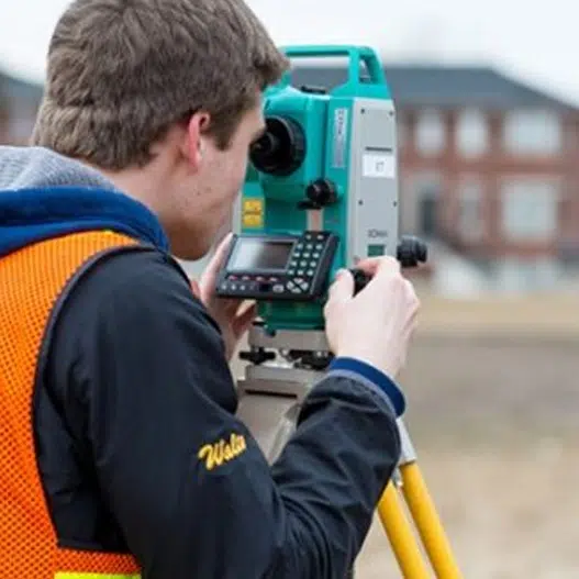
LS&E uses the latest state of the art surveying instrumentation, Trimble S7, GeoMax Zoom90, Topcon Hiper V, and WSRN CORS subscription service.
Stormwater Modeling
For stormwater modeling, we have experise with the following following software packages, which are widely utilized within the Puget Sound Region and are accepted by the Washington State Department Department of Ecology:
Leroy Surveors and Engineers also has extensive knowledge of hydrology modeling software packages such as King County Runoff Time Series (KCRTS), and StormShed.